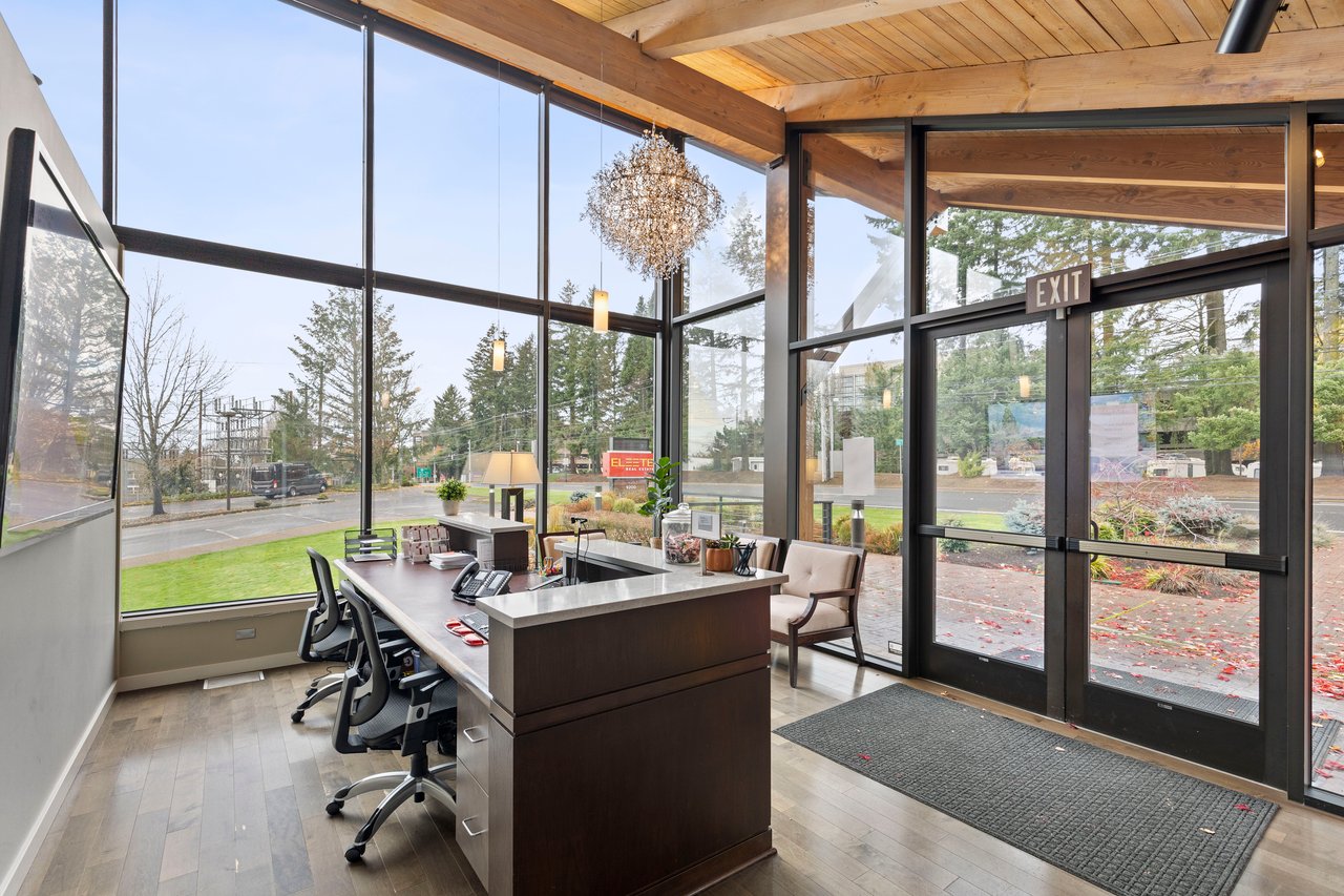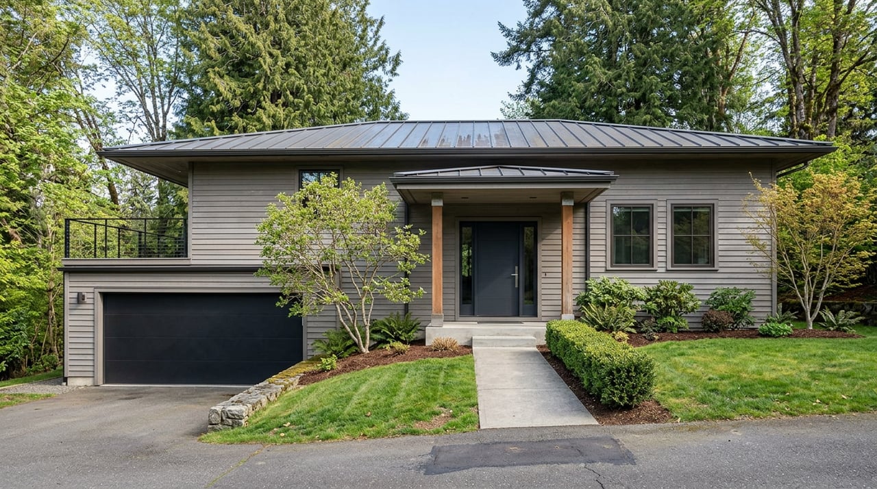
Walk into any listing for a house in Forest Heights and you'll read some version of the same line: trails everywhere, forest right up to the door, six miles of paths winding through 215 acres of common space. It's on the neighborhood's own real estate pages. It's on half a dozen agent sites. It's even on ELEETE's.
Check the source that should know best and the number changes. The Forest Heights Homeowners Association's own community amenities page puts its private trail network at approximately four miles, not six. That's not a rounding error. And the gap matters less than what it reveals: the four (or six) miles inside the HOA boundary and the 80-plus miles inside Forest Park next door are two different systems entirely, connected only at a handful of specific, named points. If you live here and walk regularly, knowing exactly where one ends and the other begins changes how you plan a Tuesday evening loop versus a Saturday hike.
Two Trail Systems, One Marketing Sentence
The HOA-maintained paths are a closed network. They connect Forest Heights Park, an eight-acre space with a playground, paved paths, and a pond that the HOA says supports a range of wildlife and native plantings, to Mill Pond and the residential loops that thread through the neighborhood's 601 acres. Dogs are welcome on these paths but must be leashed, the same rule that applies once you cross into Forest Park itself.
This is a genuinely nice amenity. It's also, on its own, a short one. Four miles (or six, depending on which page you trust) of paved and gravel paths inside a planned community is a pleasant evening walk, not a trail system in the sense that draws people to the West Hills in the first place. The draw next door is Forest Park: 5,200 acres, more than 80 miles of trail, anchored by the 30-mile Wildwood Trail that runs from Washington Park to Newberry Road at the park's northwest terminus. That's the system most people mean when they say they moved here for the trails. It's not the same system as the one inside the HOA gates.
Where the Neighborhood Loop Actually Ends
The transition from HOA path to Forest Park trail isn't seamless. It happens at a handful of specific, named entry points, and getting it right saves you a wasted trip.
The city's own trailhead guidance flags one detail that trips people up: at the Lower Holman Trailhead, there's no parking on NW Holman Lane itself. The instruction is to park around the corner on NW Aspen Blvd instead. It's a small thing, but if you're driving a visitor over for their first hike, it's the difference between a ticket and a trailhead.
From there, a few access points do most of the work for Forest Heights residents:
- Lower Holman and Aspen Trailheads, reached from NW Aspen Blvd, connect into the Wildwood Trail system just below the neighborhood.
- Leif Erikson/Thurman Trailhead puts you on Leif Erikson Drive, an 11-plus mile former road that now functions as a wide, mostly flat forest trail, popular with runners and cyclists since it's one of the few Forest Park corridors open to bikes.
- Lower Macleay Trailhead, off NW Upshur Street, is the only spot in the entire park with a paved, ADA-accessible trail segment, a 0.2-mile stretch into Balch Creek Canyon. It's also served directly by TriMet bus lines 15, 26, and 77, which matters if you'd rather not drive at all.
None of these sit inside the HOA's four or six miles. They're the doors you walk through to get from the manicured version of "trails" to the actual forest.
August Is Brushing Season, and the Work Is Happening on Your Route
Forest Park doesn't maintain itself, and the timing of that work matters if you're planning to use these trails this month. Forest Park Conservancy, the nonprofit partner that handles much of the soft-surface trail maintenance in coordination with Portland Parks & Recreation, currently has its homepage flagged for what it calls brushing season, the seasonal push to keep trails clear and stable.
Two of the Conservancy's scheduled work days this month landed directly on corridors Forest Heights residents actually use. A stewardship day at Leif Erikson at Germantown Road ran on August 15, and another at Lower MacLeay Park followed on August 17. Both are segments that feed straight into the neighborhood's most-used access points. If you were on either trail in the past few days and noticed volunteers clearing brush or the surface looking freshly worked, that's what you were seeing.
It's also a good moment to build in the habit of a quick check before a longer outing. The city's trail closures and delays page was last updated August 7, and conditions on natural surface trails can shift with weather, root damage, or ongoing repair work faster than most people expect. It costs nothing to glance at the page before you commit to a six-mile loop.
The Walk That Actually Bookends at the Village
None of this happens in isolation from the Village Center, which is the other half of how Forest Heights residents actually use these trails. NW Miller Road carries Jim & Patty's Coffee at 2021, Pizzicato at 2025, and Vinotopia at 2037, three stops within about a block of each other, alongside Heroes American Café a short walk further. That clustering is what turns a walk into a routine rather than an errand. Grab a coffee at Jim & Patty's, loop through Forest Heights Park and Mill Pond, cross over to Aspen or Leif Erikson if you have the extra hour, and come back through the Village for a slice at Pizzicato or a glass at Vinotopia. The geography supports that loop in a way that a lot of planned communities don't.
It's worth sitting with why the four-versus-six-mile discrepancy exists at all. Both numbers describe the same finite, HOA-maintained network. The larger figure shows up more often in real estate copy, including our own, because six sounds more generous than four and nobody double-checks it against the source. The HOA's own site is the one place with no reason to inflate the number, since it's describing an amenity to the people who already pay for it through dues. That makes four the figure worth trusting if you're comparing what's actually inside the gates versus what's two minutes away in Forest Park.
Living here, the practical upshot is simple: the neighborhood trails are a nice daily loop, the real hiking is next door and reached through a small number of specific trailheads, and this particular month is a good one to check conditions before you go, since the Conservancy and the city are both actively working the trails you'd use to get there.
If you're weighing whether to stay put, add on, or see what a Forest Heights property near the Village Center or up on the ridge is actually worth in today's market, ELEETE Real Estate works this corridor of the West Hills regularly and can put real numbers behind the conversation. Request a complimentary market valuation whenever you're ready to talk specifics.